Digital Commonwealth — New Bedford Free Public Library
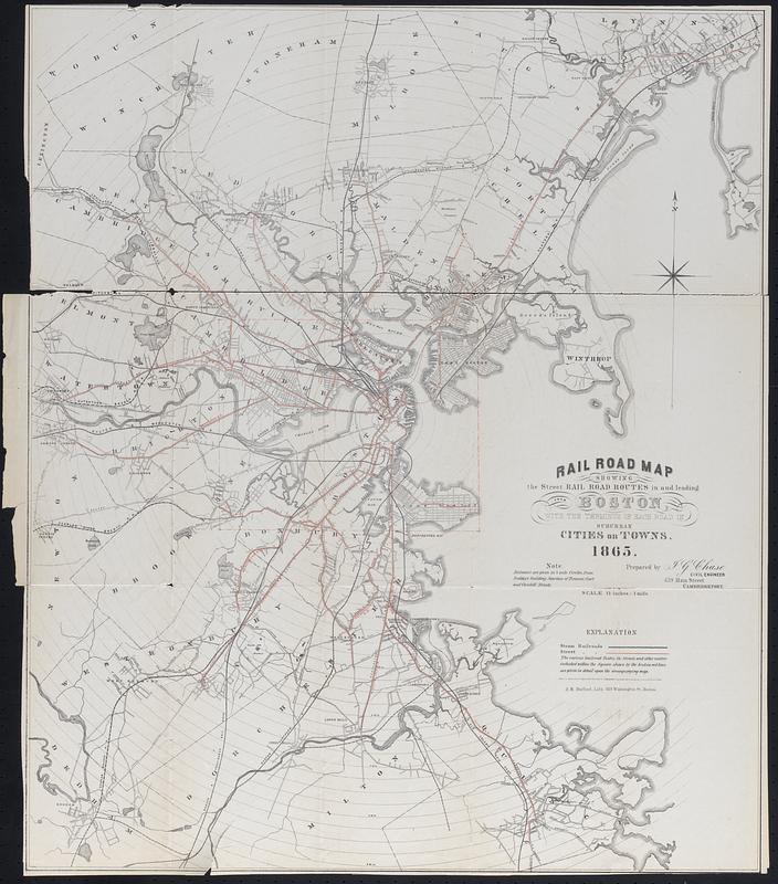
Rail Road Map showing the street rail road routes in and leading from Boston, with the terminus of each road in suburban cities and towns
1865
Map of Boston and surrounding towns with routes of steam and street railroads, 1/4 mile circles radiating from the junction of Tremont and Cornhill streets. Prepared by J.G. Chase, civil engineer
🔒
Order museum-quality prints
Sign in to order prints, canvas, and more of this work. Browsing and full-resolution downloads stay free.