Digital Commonwealth — New Bedford Free Public Library
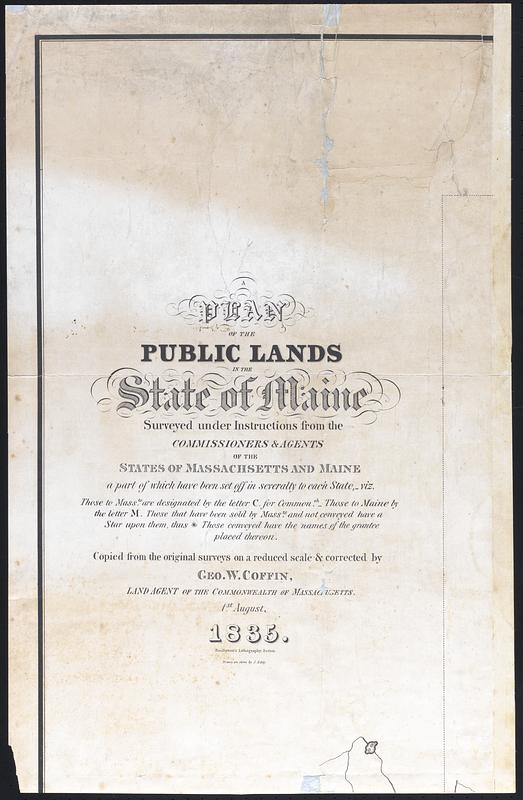
A Plan of the Public Lands in the State of Maine
Eddy, James, 1806-1888 · 1835
"Plan of the public lands in the state of Maine surveyed under instructions from the commissioners and agents of the states of Massachusetts and Maine a part of which have been set off in severalty to each state [...] copied from the original surveys on a reduced scale and corrected by Geo. W. Coffin, land agent of the commonwealth of Massachusetts 1st August 1835" gridded map of Maine with sections designated as Maine or Massachusetts, some topographic info. Single map split into 6 pieces
🔒
Order museum-quality prints
Sign in to order prints, canvas, and more of this work. Browsing and full-resolution downloads stay free.