Digital Commonwealth — New Bedford Free Public Library
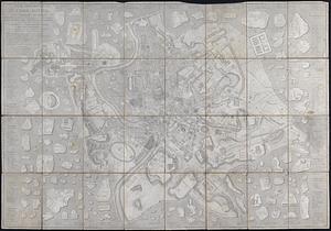
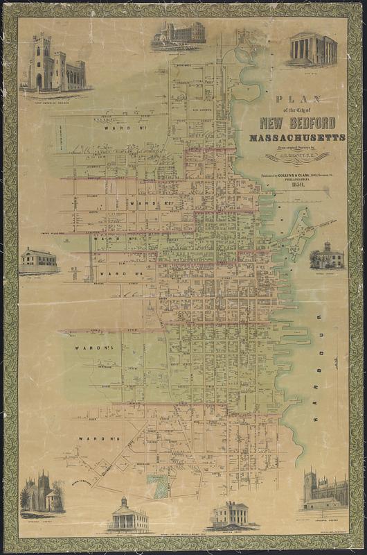
Plan of the City of New Bedford Massachusetts
1850
Color map of the city of New Bedford wards 1-6 based on surveys by J.C. Sidney, C.E. Includes structures and illustrations of Episcopal church, custom house, court house, Friends Academy, city hall, Wamsutta mills, high school, First Unitarian Church. Coated paper mounted to linen
🔒
Order museum-quality prints
Sign in to order prints, canvas, and more of this work. Browsing and full-resolution downloads stay free.