Digital Commonwealth — New Bedford Free Public Library
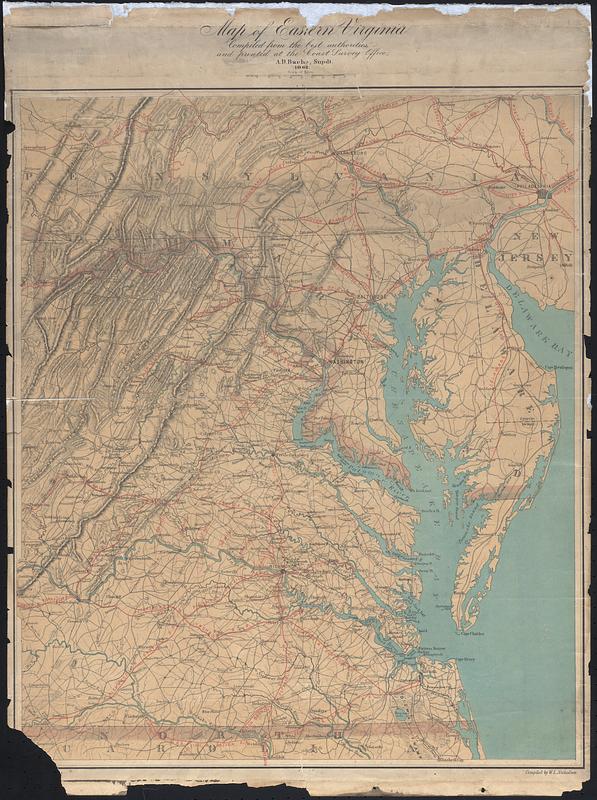
Map of Eastern Virginia
Bache, A. D. (Alexander Dallas), 1806-1867 · 1862
Map of Eastern Virginia compiled from the best authorities and printed at the coast survey office, A.D. Bache Supdt 1862. Map shows topographic info and railroads, extends vertically from Pennsylvania to North Carolina, and East to Delaware and New Jersey.
🔒
Order museum-quality prints
Sign in to order prints, canvas, and more of this work. Browsing and full-resolution downloads stay free.