Digital Commonwealth — New Bedford Free Public Library
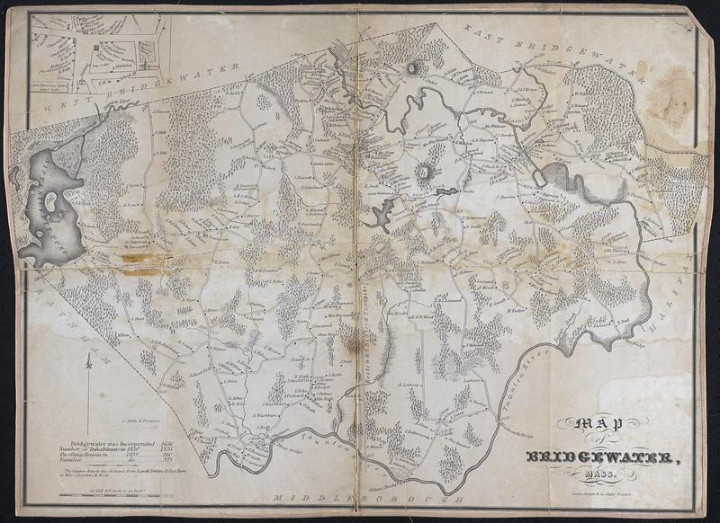
Map of Bridgewater, Mass
[1830–1832]
Map of Bridgewater in 1830-1832, includes streets, houses, and names of landowners, some topographic information. Inset: Centre of the town, larger scale
🔒
Order museum-quality prints
Sign in to order prints, canvas, and more of this work. Browsing and full-resolution downloads stay free.