Digital Commonwealth — New Bedford Free Public Library
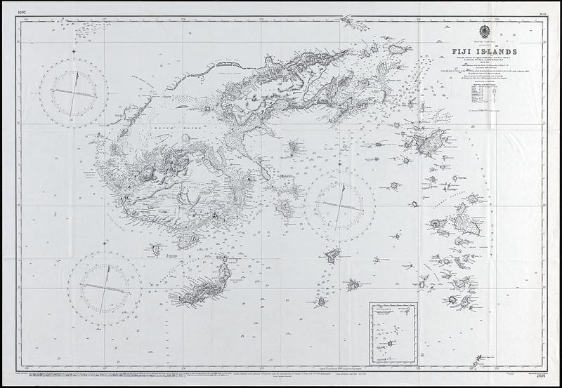
Fiji Island
(c) 1960
Nautical chart of the South Pacific, Fiji Islands from the surveys of Captain H.M. Denham, R.N. F.R.S. 1854-6, Lieutenants W.U. Moore and G.E. Richards R.N. 1876-82, with additions from the works of Commander C. Wilkes, USN and various other authorities. Includes sounding depths, magnetic variation, and descriptions of the seabed. Inset(s): Fiji Islands, continuation of group to southward
🔒
Order museum-quality prints
Sign in to order prints, canvas, and more of this work. Browsing and full-resolution downloads stay free.