Digital Commonwealth — New Bedford Free Public Library
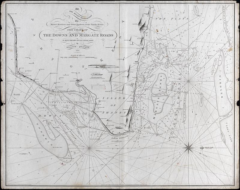
The Downs and Margate Roads
Heather, William, 1764-1812 · 1797
"To the right honorable the Master, Wardens, and elder brethren of the trinity house. This chart of the Downs and Margate roads is most respectfully dedicated by William Heather 1797" Nautical chart of water surrounding the Isle of Thanet in Kent, England. Includes sounding depths, anchorages, buoys and lights, and magnetic variation. Inset: View of Ramsgate
🔒
Order museum-quality prints
Sign in to order prints, canvas, and more of this work. Browsing and full-resolution downloads stay free.