Digital Commonwealth — New Bedford Free Public Library
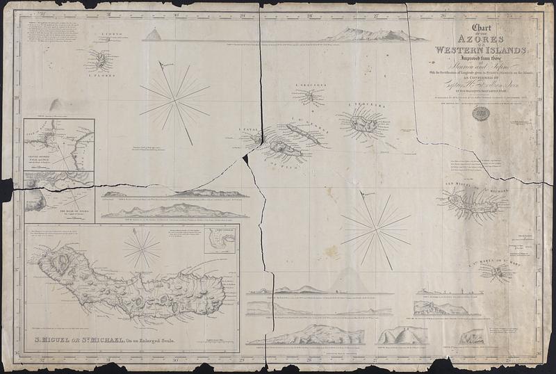
Chart of the Azores or Western Islands Improved from those of Fleurien and Tolino with the Rectification of longitude given in Purdy's Memoir on the Atlantic, as confirmed by Captain Wm Fitzwilliam Owen in his majesty's ship Leven 1820
1842
Chart of the Azores, mostly topographic information of the islands, including place names and settlements. Sounding depths, descriptions of the seabed, and magnetic variation included in the insets for San Miguel, channel between Fayal and Pico, and the Road of Angra. Insets: Side views of the islands, San Miguel, Channel between Fayal and Pico, the road to Angra
🔒
Order museum-quality prints
Sign in to order prints, canvas, and more of this work. Browsing and full-resolution downloads stay free.