Digital Commonwealth — New Bedford Free Public Library
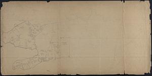
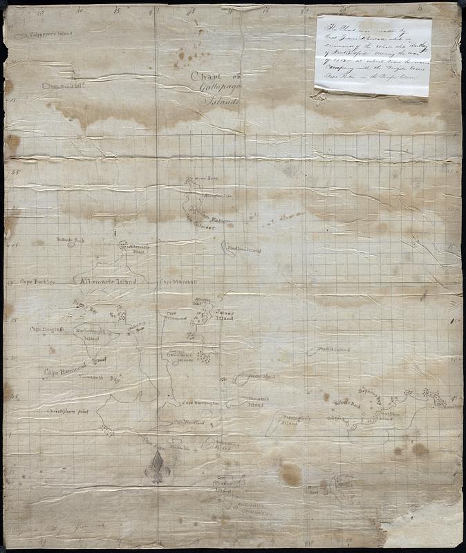
Chart of Gallapagos Islands
[1800–1839]
Hand drawn map / nautical chart of the Galapagos islands, paper is gridded by hand in pencil. Each island is identified, along with rocks, reefs, shallow water, and anchorage points. Note attached the upper right corner written on the reverse of a printed notice from 1878 says "This chart was made by Capt. Gideon Randall while in command of the whale ship 'Barclay' of New Bedford during the War of 1812 at which time he was in company with the frigate Essex Capt. Porter in the Pacific Ocean"
🔒
Order museum-quality prints
Sign in to order prints, canvas, and more of this work. Browsing and full-resolution downloads stay free.