Digital Commonwealth — New Bedford Free Public Library
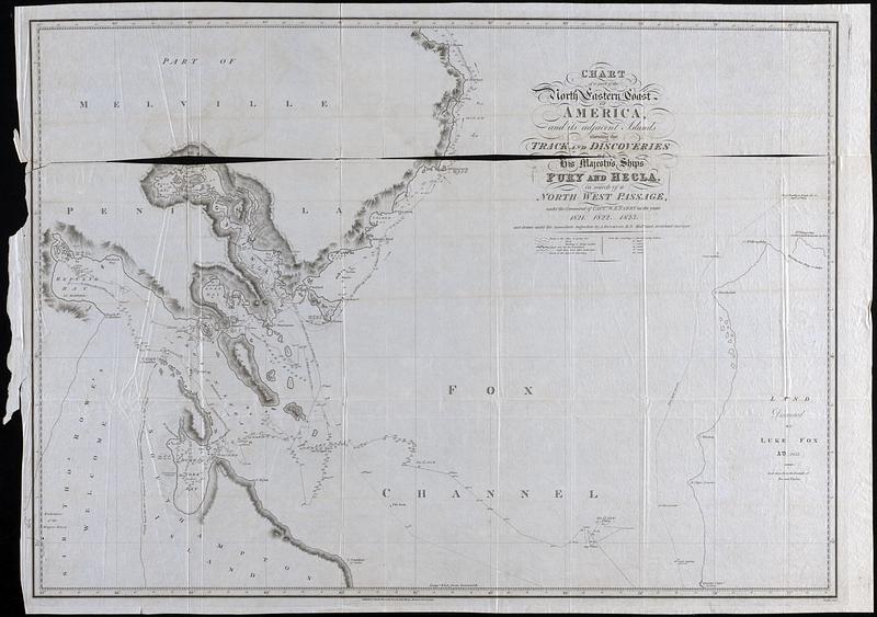
Chart of a part of the North Eastern Coast of America and its adjacent Islands shewing the track and discoveries of his Majesty's ships Fury and Hecla in search of a North West passage under the command of Capt. W.E. Perry in the year 1821, 1822, 1823
1823
Nautical chart of Fox Channel, Melville Peninsula, and Southampton Island includes the routes of the ships "Fury" and "Hecla" search for the Northwest Passage, sounding depths and dates. Thin, semi-transparent paper
🔒
Order museum-quality prints
Sign in to order prints, canvas, and more of this work. Browsing and full-resolution downloads stay free.