Digital Commonwealth — New Bedford Free Public Library
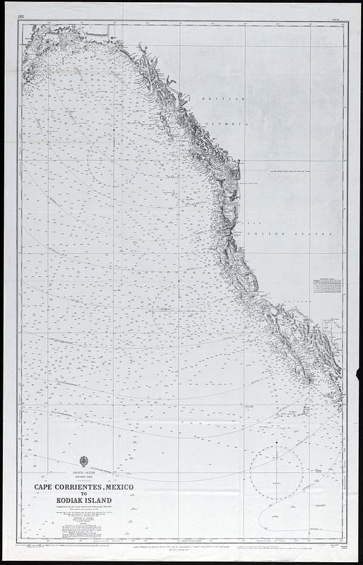
Cape Corrientes, Mexico to Kodiak Island
(c) 1960
Nautical chart of the Pacific Ocean Cape Corrientes, Mexico to Kodiak Island compiled from the most recent surveys in the hydrographic office 1876 with additions and corrections to 1954. Includes soundings in fathoms, magnetic variation curves for 1960
🔒
Order museum-quality prints
Sign in to order prints, canvas, and more of this work. Browsing and full-resolution downloads stay free.