Digital Commonwealth — New Bedford Free Public Library
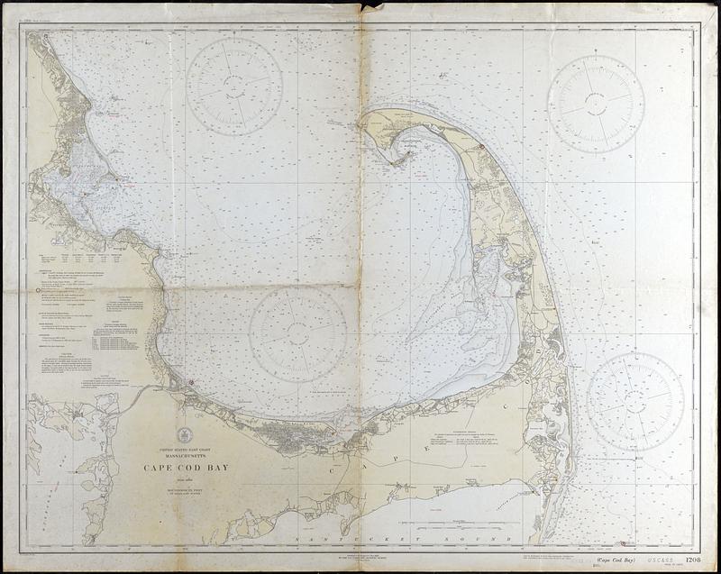
Cape Cod Bay
U.S. Coast and Geodetic Survey · 1933
Nautical chart, includes sound depths, tidal information, descriptions of the seabed, magnetic variation, buoys, and radiobeacon signals. Also includes topographic and map data for Cape Cod
🔒
Order museum-quality prints
Sign in to order prints, canvas, and more of this work. Browsing and full-resolution downloads stay free.