Digital Commonwealth — New Bedford Free Public Library
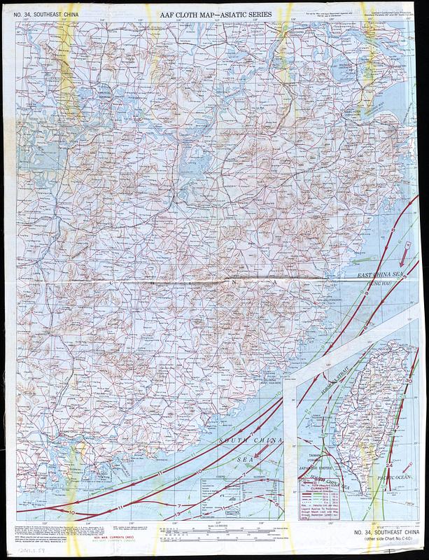
AAF Cloth Map - Asiatic Series
United States. Aeronautical Chart Service · 1944
Double sided color map printed on cloth, Philippines chart include topographic and elevation information, land routes, cities, roads, and trains as well and wind currents and magnetic variation. South East China map includes geographic data, roads, trains and cities, as well as seasonal wind patterns. Inset(s): Taiwan
🔒
Order museum-quality prints
Sign in to order prints, canvas, and more of this work. Browsing and full-resolution downloads stay free.