Digital Commonwealth — Boston Public Library
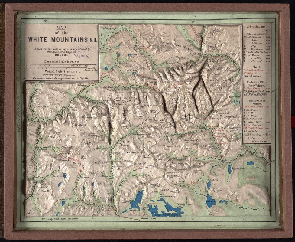
Map of the White Mountains, N.H
Geo. K. Snow & Bradlee (Firm) · [1872]
Three-dimensional relief maps are visual aids that assist schoolchildren in understanding physical terrain. The first relief maps were created in China, and appeared in Europe in the late 18th century. This late 19th century map of the White Mountains, published in Boston, allows the viewer to grasp the mountainous terrain of northern New Hampshire.
🔒
Order museum-quality prints
Sign in to order prints, canvas, and more of this work. Browsing and full-resolution downloads stay free.