Digital Commonwealth — Williams College
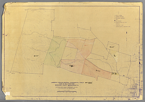
Adams, MA Constructed by Thomas A. Brayton —1830 Map Series
Massachusetts Archives · 1831
Land use map (dated June, 1831) constructed by Thomas A. Brayton as part of the Massachusetts 1830 town mapping legislation. Includes both current Adams and North Adams. 1:19800
🔒
Order museum-quality prints
Sign in to order prints, canvas, and more of this work. Browsing and full-resolution downloads stay free.
![Ash [left] and red maple [right] genetic plantations GP-01-54.](https://bpldcassets.blob.core.windows.net/derivatives/metadata/commonwealth-oai:bn99jj43p/image_thumbnail_300.jpg)