Digital Commonwealth — Boston Public Library
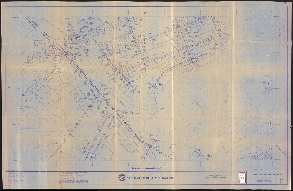
Wastewater system map, Boston proper, sheet no. 21h
Metcalf & Eddy · [ca. 1986]
Map of a portion of Boston's Fenway (Simmons College, Gardner Museum, Emmanuel College, Museum of Fine Arts, Peterborough and Queensberry Streets, Park Drive, Muddy River, Back Bay / Fens Park, etc. area) showing the location of sewers on a base map prepared by Chas H. Sells, Inc. Includes foot prints of buildings and names of prominent structures, etc.
🔒
Order museum-quality prints
Sign in to order prints, canvas, and more of this work. Browsing and full-resolution downloads stay free.