Minneapolis Institute of Art
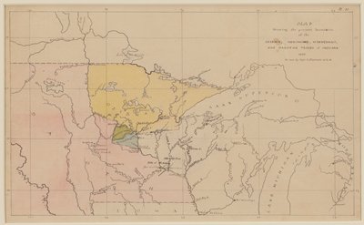
Map Showing the Present Boundaries of the Ojibwa, Menomonee, Winnebago, and Dakotah Tribes of Indians 1851
Seth Eastman · 1851
🔒
Order museum-quality prints
Sign in to order prints, canvas, and more of this work. Browsing and full-resolution downloads stay free.