Gothenburg Museum of Natural History
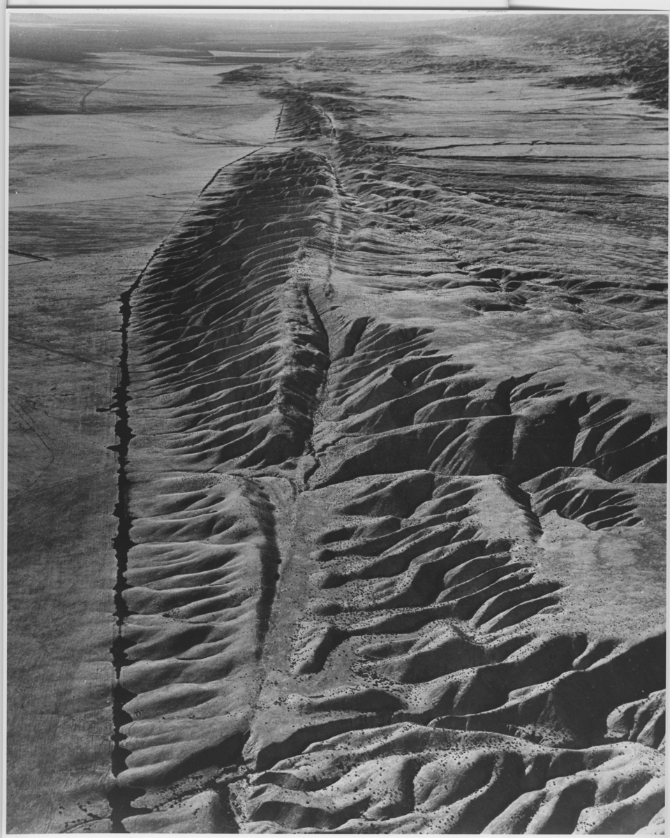
'Flygbild över San Andreasförkastningen. :: Enligt text på baksidan ''Aerial view of the San Andreas fault in the Carrizo Plain area of central California. View looks northwest. Linear topographic troughs and valleys and linear scarps along the surface trace of the fault create the appearance of a giant gash across the landscape. (Black line at left is a fence line along which tumbleweed has accumulated).'' :: Ingår i serie med fotonr. 5664:1-3.'
U.S. Geological Survey
🔒
Order museum-quality prints
Sign in to order prints, canvas, and more of this work. Browsing and full-resolution downloads stay free.