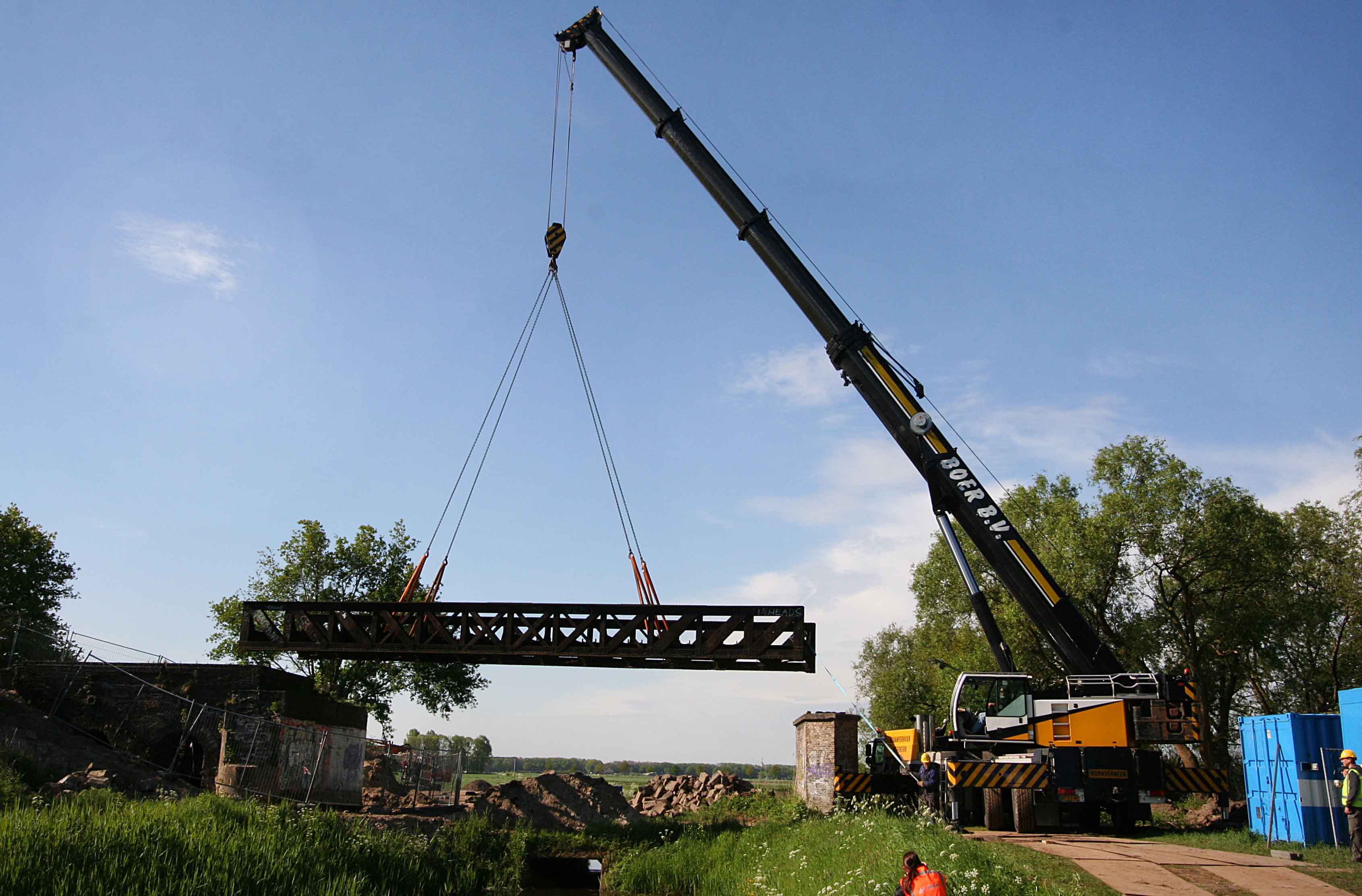
The railway bridges in the Langstraat
Project Leader: City of 's-Hertogenbosch; Staatsbosbeheer; City of Heusden; Aannemingsbedrijf Nico de Bont; Verlaan en Bouwstra, architekten; City of Waalwijk
Notes: -Project full title "A new future for the railway bridges in the Langstraat" -Sites designations: Five historical railway bridges of the former railway between Geertruidenberg and 's-Hertogenbosch in the Netherlands o Bridge Moerputten o Bridge Venkant o Bridge Drunen o Bridge Overstortweg o Bridge Waalwijk - A new park on a part of the former track of the railway for pedestrians and cyclists in the centre of the city of Waalwijk (Floris-V-laan, Noorderparallelweg, Ambrosiuslaan, Spoorbrugweg –Waalwijk). - Two natural and historical landscapes along the former railway Geertruidenberg - ‘s-Hertogenbosch. GPS Co-ordinates: Bridge Moerputten 's-Hertogenbosch 51°41'14,33" N, 5°14'55,13" E; Nature reserve Moerputten 51°41'14,33" N, 5°14'55,13" E; Bridge Venkant Vlijmen 51°41'25,16" N, 5°13'34,44" E; Bridge Drunen 51°41'27,47"N, 5°06'46,46" E; Bridge Overstorteg 51°41'26,17" N, 5°06'36,88" E Bridge Waalwijk 51°41'21.90" N, 5°06'07,38" E Halvezolenpark Waalwijk 51°41'02,50"N, 5°03'44,64" E Cycle track Waalwijk - Raamsdonk 51°40'52,11" N, 5°02'35,34" E; Slagen Landscape Langstraat 51°41'04,21" N, 5°01'29,72" E The bridges and the areas above are indicated by only one co-ordinate, which is the centre of the bridge or the area by approximation.
Sign in to order prints, canvas, and more of this work. Browsing and full-resolution downloads stay free.


