Digital Library Trentino
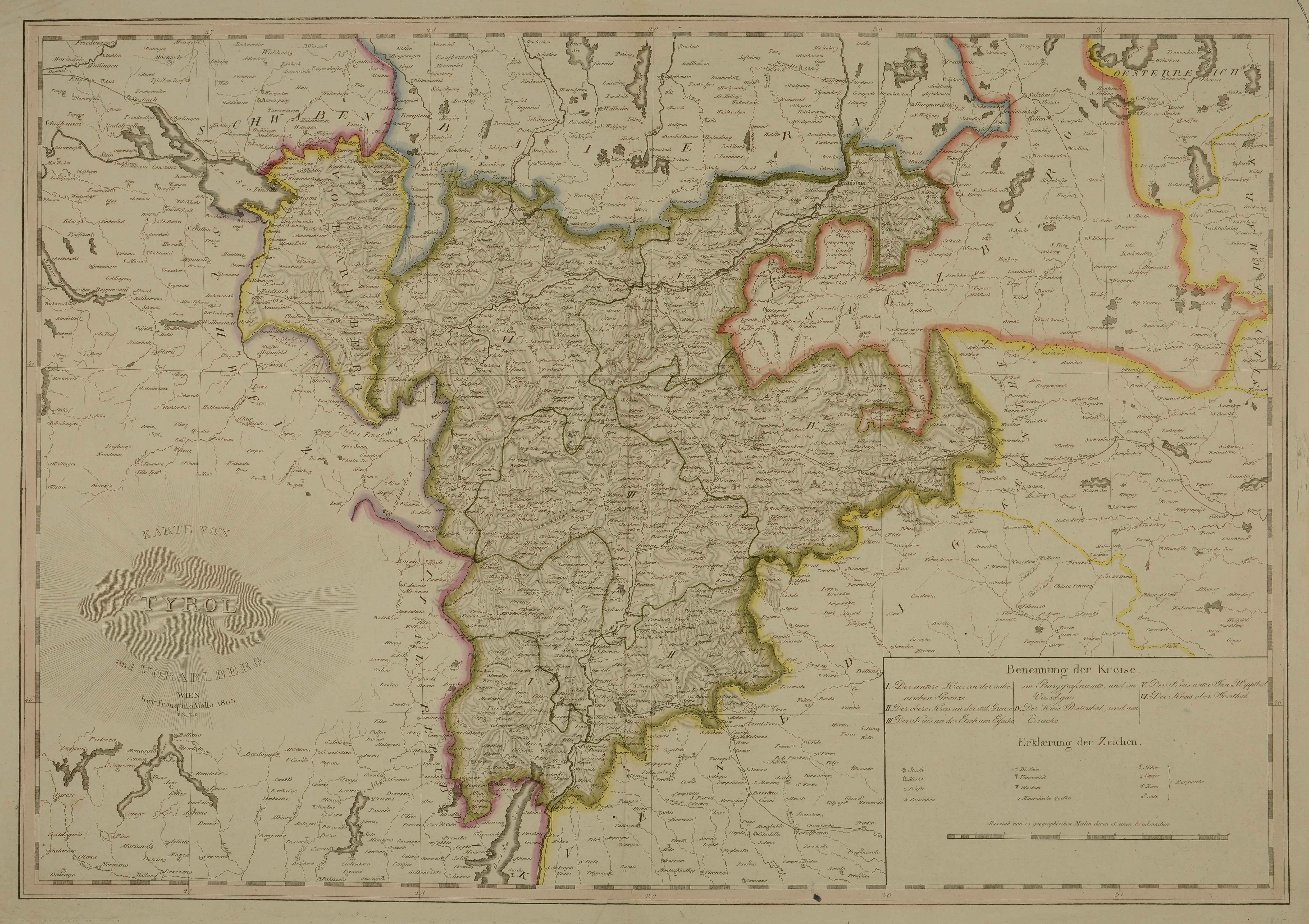
Karte von Tyrol und Vorarlberg
Mollo Tranquillo · 1803
Calcografia, 546x790 mm. Cfr. Gino Tomasi, Il territorio trentino-tirolese nell'antica cartografia, Ivrea, Priuli, Verlucca, 1997, scheda 88
🔒
Order museum-quality prints
Sign in to order prints, canvas, and more of this work. Browsing and full-resolution downloads stay free.


