Digital Library Trentino
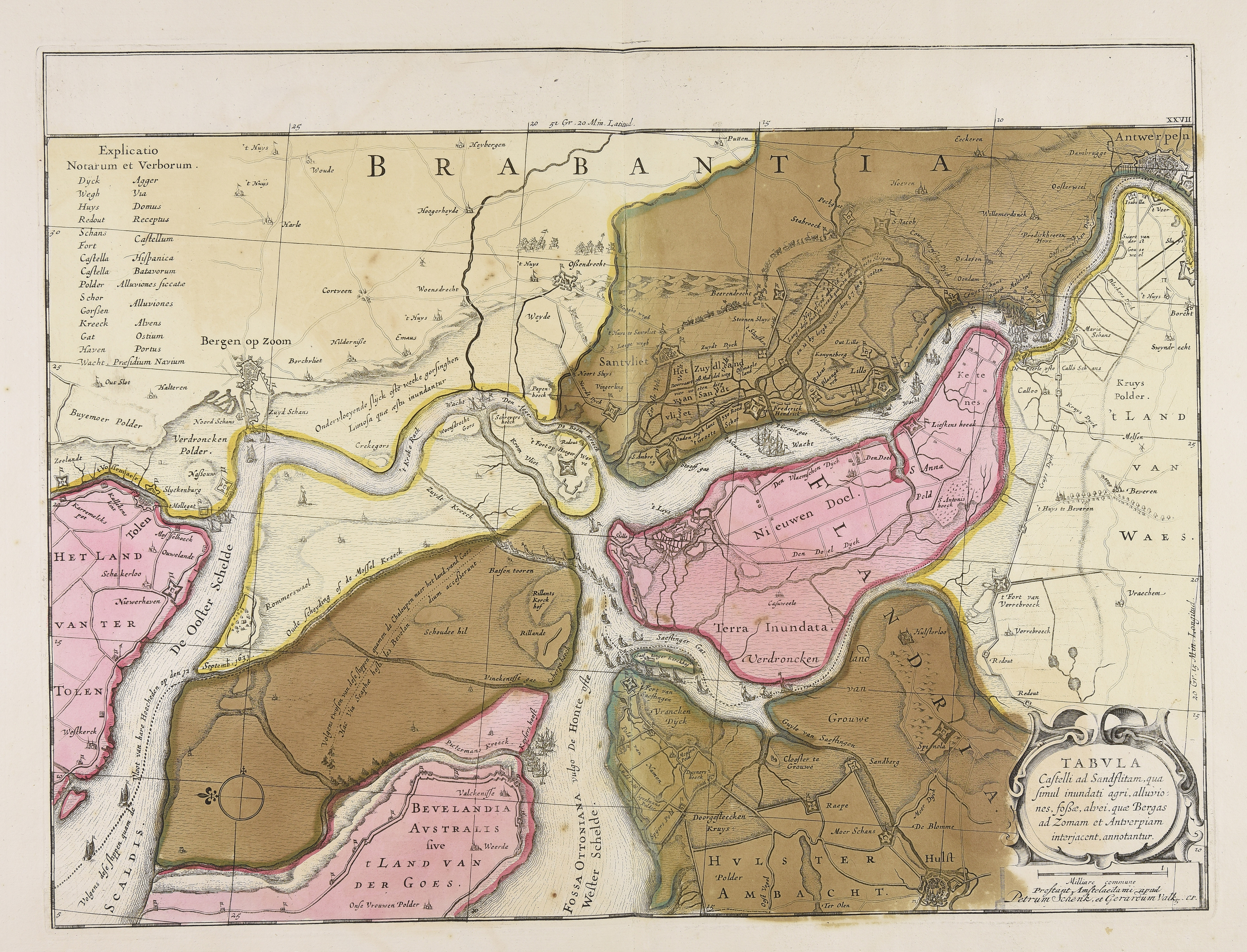
Tabula Castelli ad Sandflitam qua simul inundati agri, alluviones, fossae, alvei, quae Bergas ad Zomam et Antverpiam interjacent annotantur
1710
Calcography, 362x482 mm, scale 1: 120.000, published c. 1710, (see Peter van der Krogt, Koeman's atlantes neerlandic, 't Goy-Houten, HES, 1997, vol. 5, in the course of publication)
🔒
Order museum-quality prints
Sign in to order prints, canvas, and more of this work. Browsing and full-resolution downloads stay free.


